The Flemish Transportation Company ‘De Lijn’ plans four new regional tram lines in Flemish Brabant. This network called “Brabantnet” includes three radial tram lines connecting Ninove, Boom, Heist-op-den-Berg and Brussels, and one tangential line serving the UH Jette, the Heizel, Vilvoorde, Brussels Airport and Tervuren. These tramlines will be complementary to the REN and must be considered as an additional solution to combat the traffic congestion around the capital.
The assignment consists in the route assessment (BUUR) and the elaboration of an EIA plan (Royal Haskoning) for each one of the four projected tram lines. The route assessment will not only populate the EIA plan and the costs-benefit analysis with data, but will also be a tool that can be used in the concertation meetings with the involved authorities. The assessment started mid-2011 and should allow the Flemish government to select four preferential routes in the course of 2013.
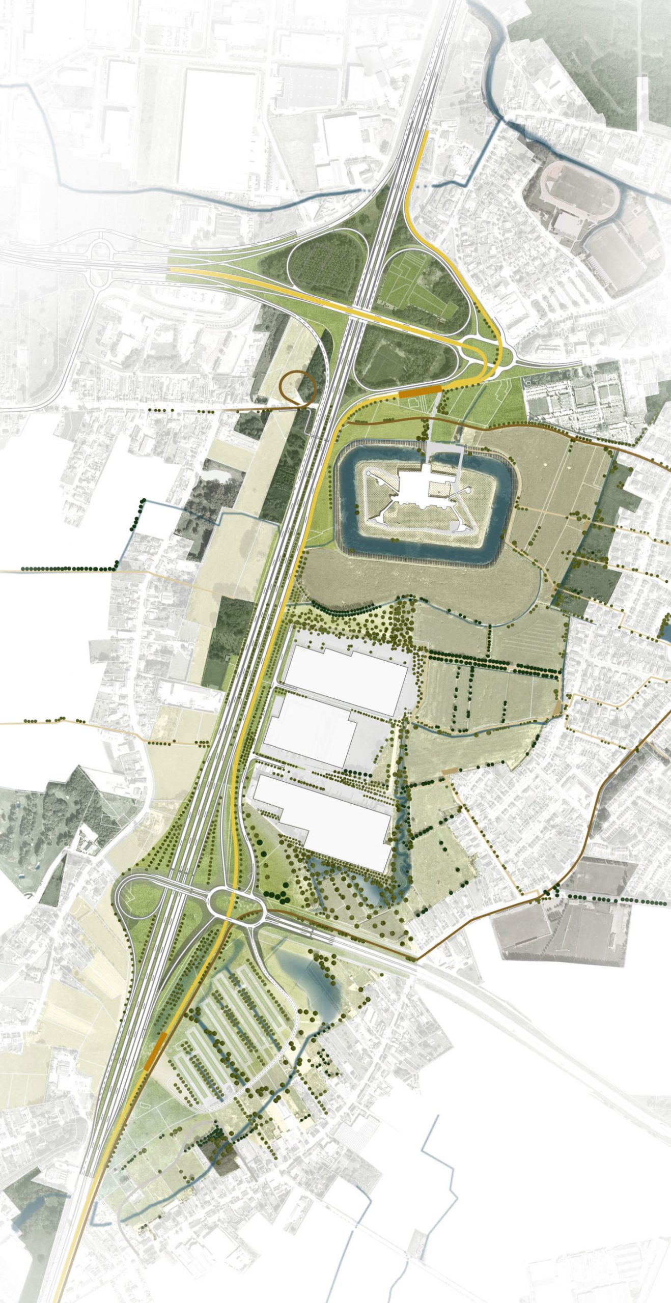
It is quite a challenge to find an adequate and realistic route in the strongly urbanized structure of Flemish Brabant that meets the requirements of both traffic fluidity and transportation.
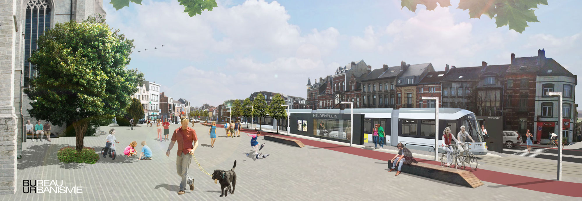
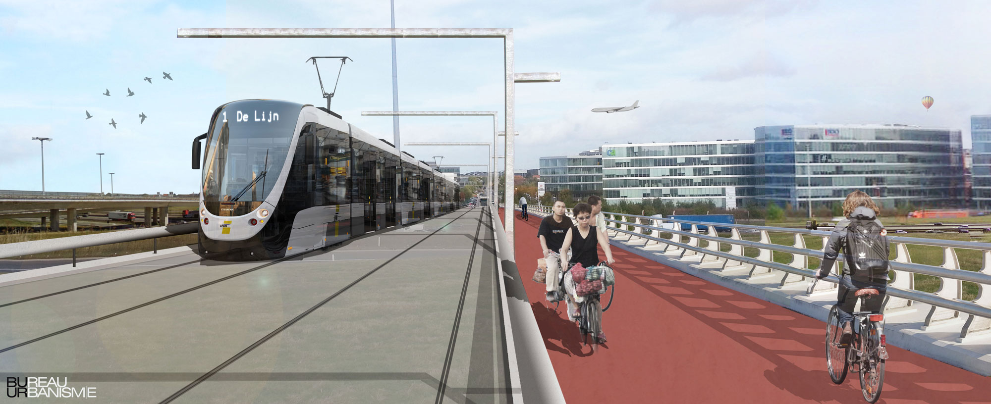
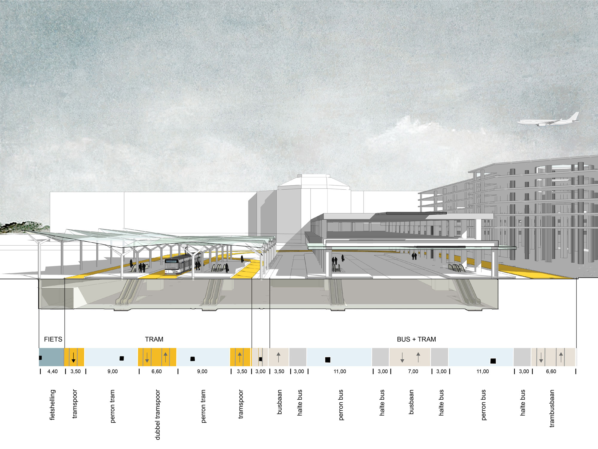
BUUR even adds a twofold ambition to this challenge. First of all, the project must be able to integrate the new tram routes in the existing spatial context and this in terms of mobility, urbanism and landscape. Secondly, the tram lines must be able to reinforce the urban structure by creating new connections and generating new development opportunities for urban functions (housing, working, center functions).
With these ambitious goals in mind, BUUR has developed a method that explores the performances of the potential tram route in a series of successive and more and more detailed steps, and studies their spatial integration through design analysis.
The features of the tram routes (speed, complexity, cost price, space occupation…) are transferred to a map via the use of the GIS-application, a tool that BUUR has especially developed for this type of route assessments.
The final evaluation and comparison of the different route alternatives will be performed on the basis of a multi criteria evaluation that is also specific for route assessments. It consists in an evaluation grid that clearly represents the performances of a route on the basis of sixteen criteria, split up in four areas: infrastructure (cost price and travel time), exploitation (serving opportunities and network), environment (impact on man, nature and landscape) and space (spatial integration and structural capabilities).
For the routes that have been withheld, BUUR will also indicate how the tram line can be optimally integrated into the landscape, which includes the potential urban development around the tram stops. These recommendations can be a source of inspiration to all the involved stakeholders and invite them to consider their future spatial policy according to the realization of the new tram lines.